Wellesley hike: The trails were fragrant along Longfellow Pond
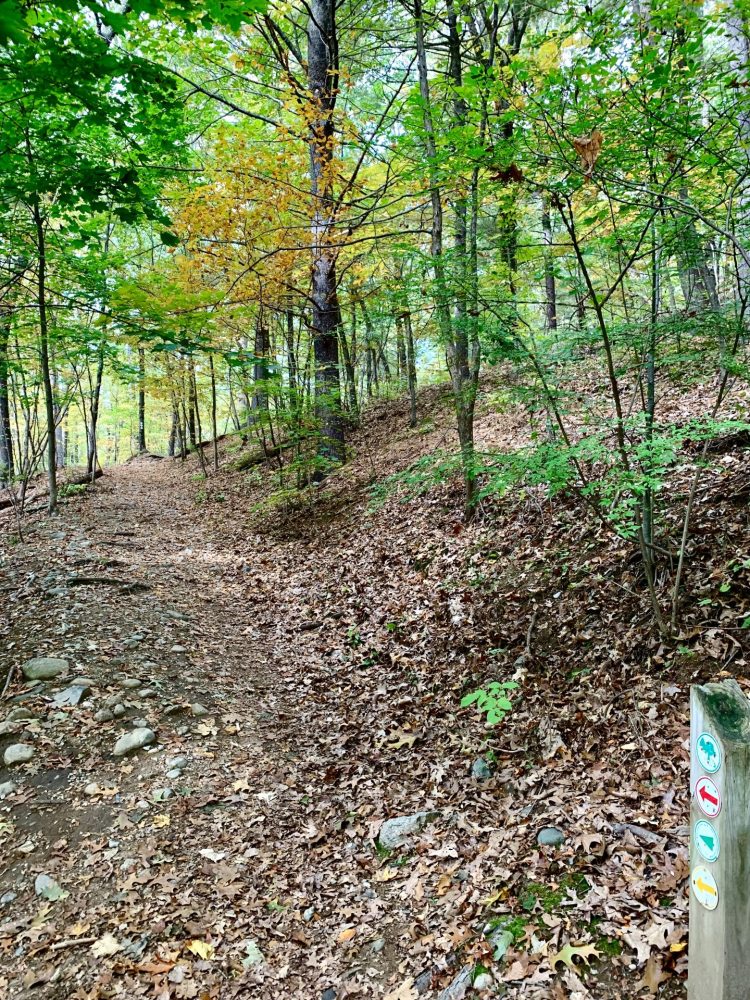
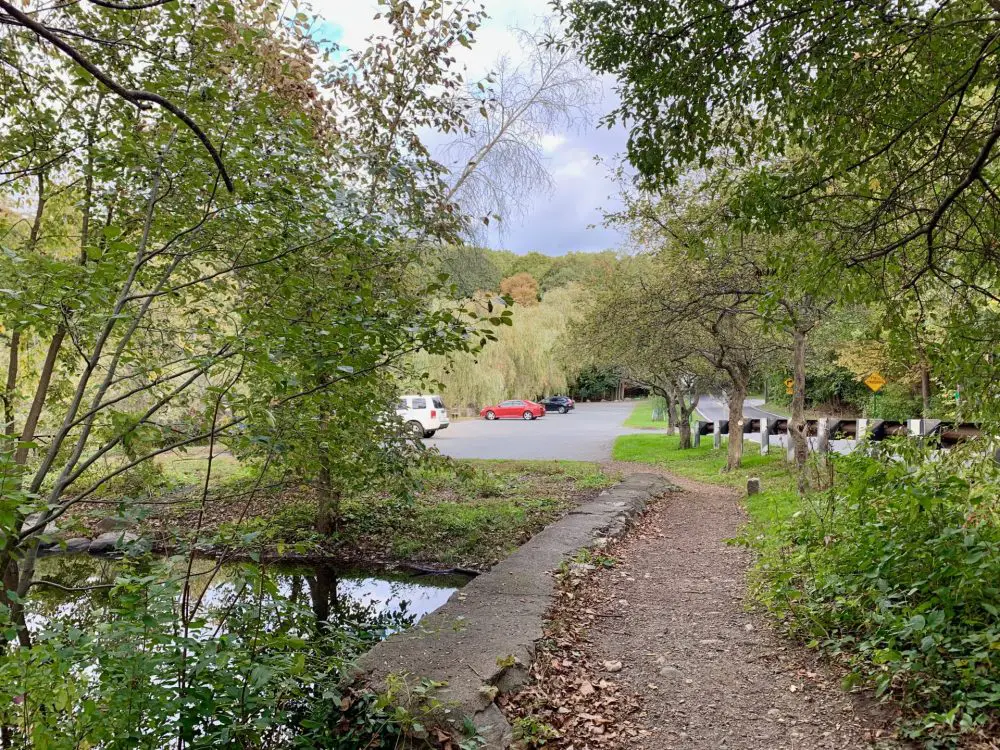
If you’re looking for a quick and pretty walk in Wellesley with water views, changing fall foliage, and the scent of pine trees—and perhaps some other olfactory exposures—try out the trails in the Longfellow Pond area, a small section of the 221-acre Wellesley Town Forest. You can’t miss the Oakland Street parking lot, or the trailheads, which you can access on either side of the lot.
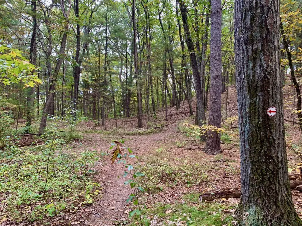
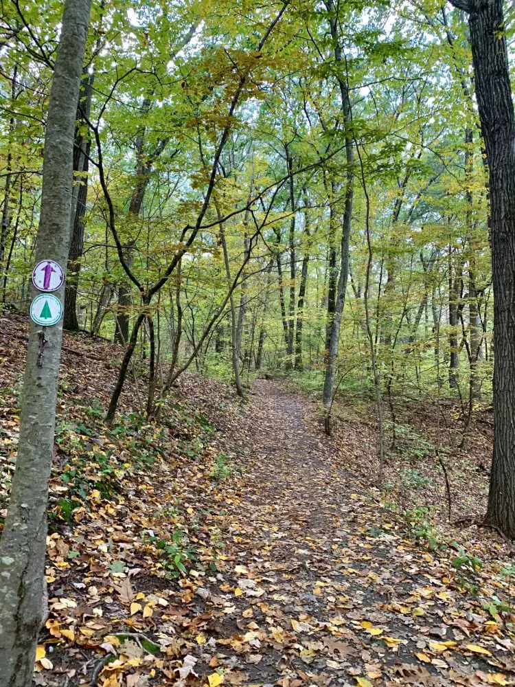
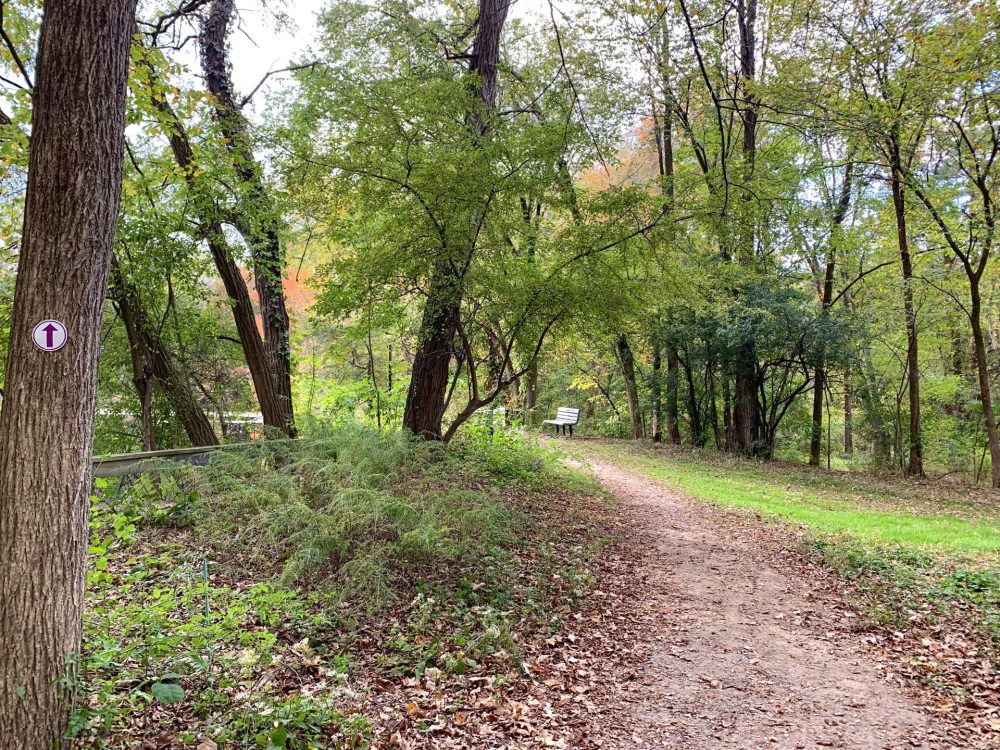
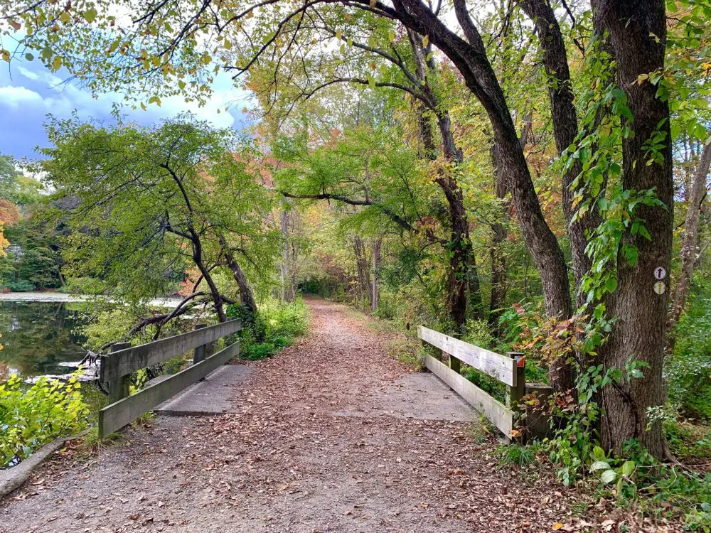
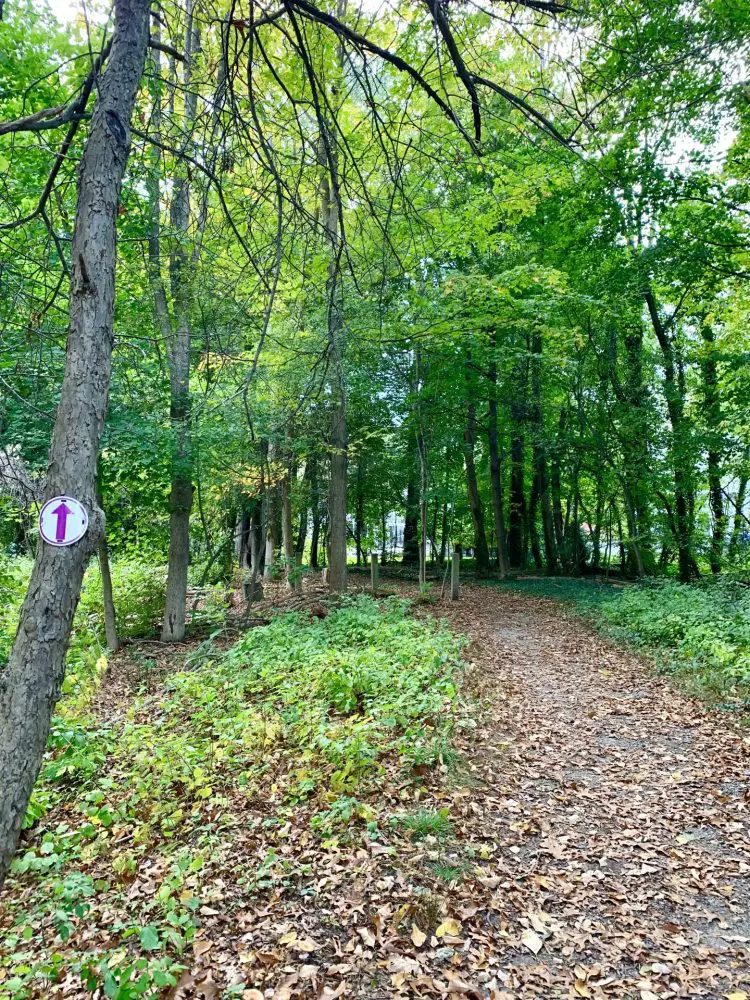
I waked toward the trailhead to the right as I faced the pond, and set out for a pleasant experience. As I made my way along the wide path, I took a deep breath of autumn. Inhale—ahh, the crisp, cool temperatures awakened me from a mid-afternoon slump. Exhale—let’s power walk, baby. Another inhale—the strong smell of cigarette smoke. Wait, what? No way I’m going to breathe secondhand smoke during my commune with nature. When two paths diverged in a wood, I grabbed my chance and took the one less smoked on, banking right to hike up the steep esker, marked with the red trail arrows.
There’s irony here. As Josh Dorin has pointed out in his Wellesley History blog, “Longfellow Pond is not natural. Rather, it’s entirely man-made and, furthermore, very little of the surrounding environment has been untouched by humans. Look closely and this should be obvious, from the dam and concrete piers at the north end of the pond to…the sewer and gas lines that run underneath the pond.”
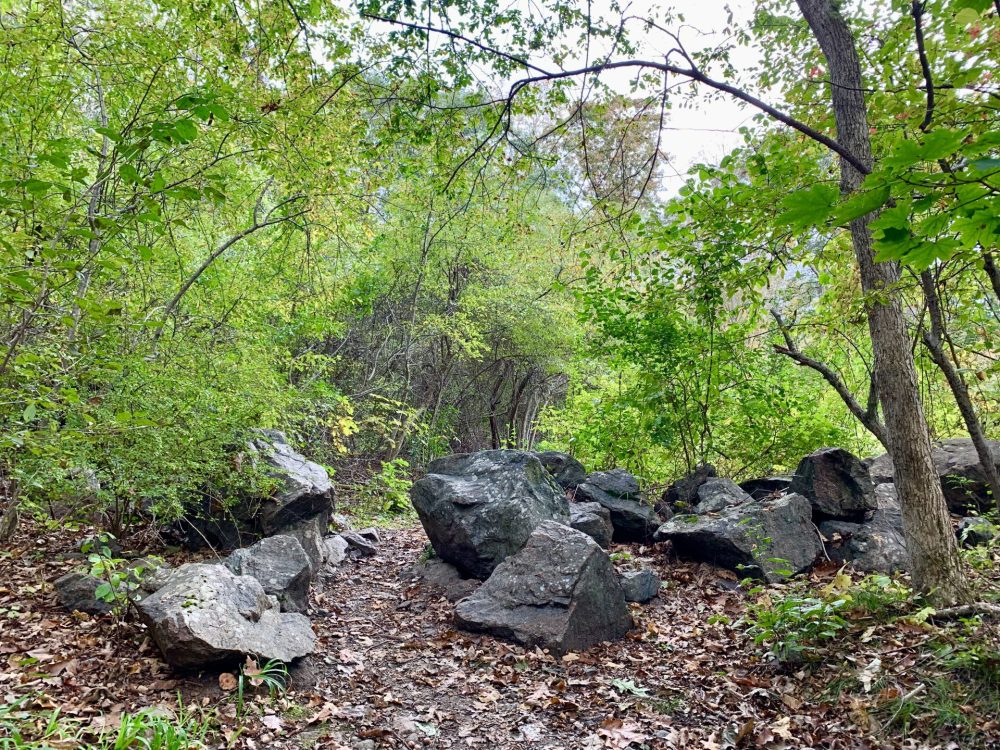
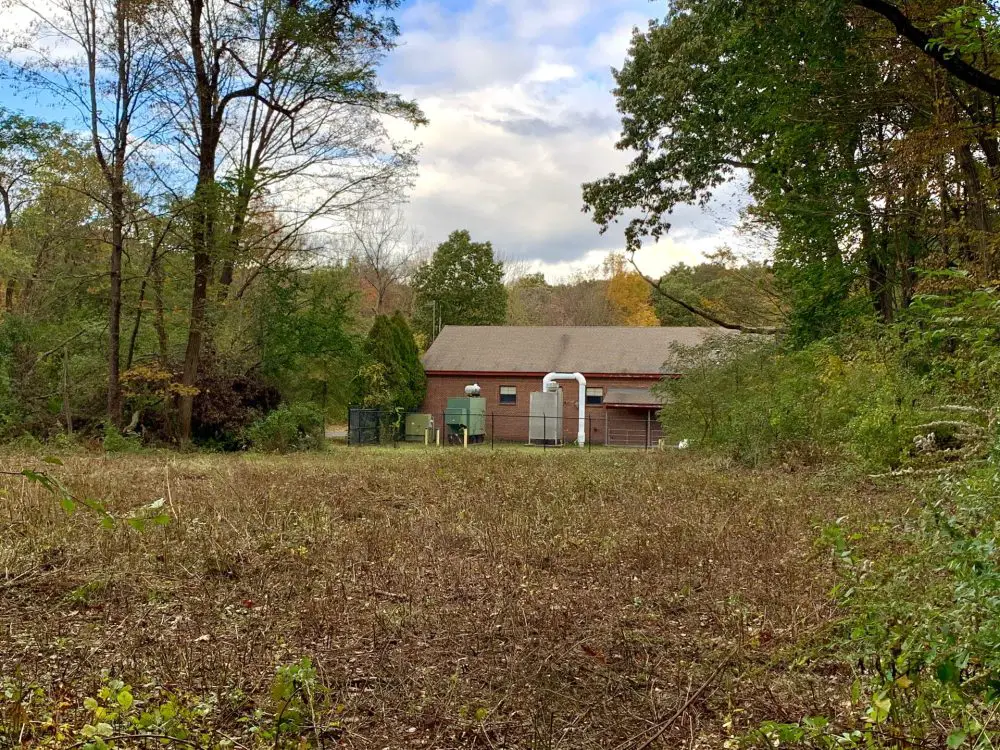
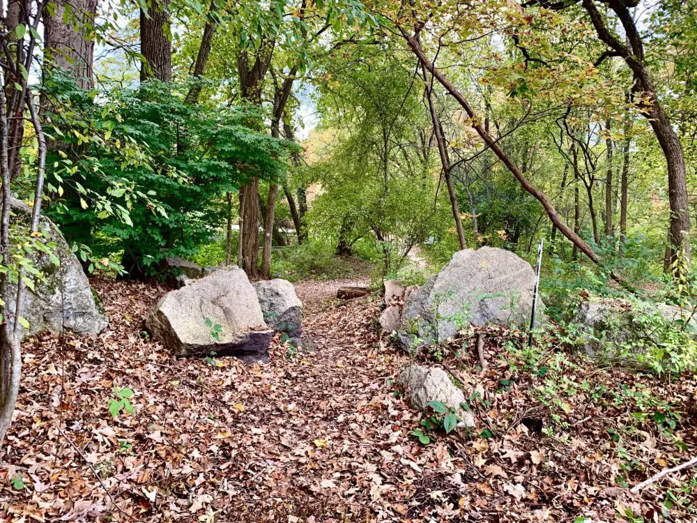
Here are some pictures of my hike, along with some musings, and a little history about the area.
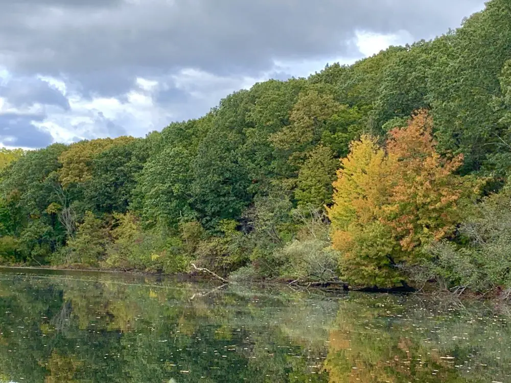
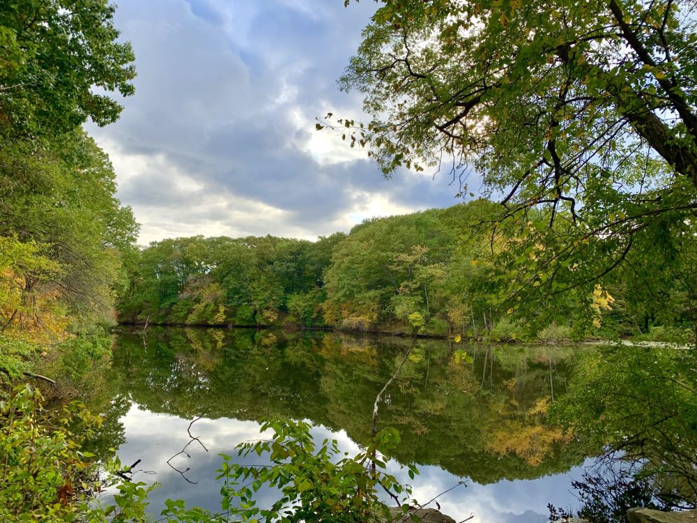
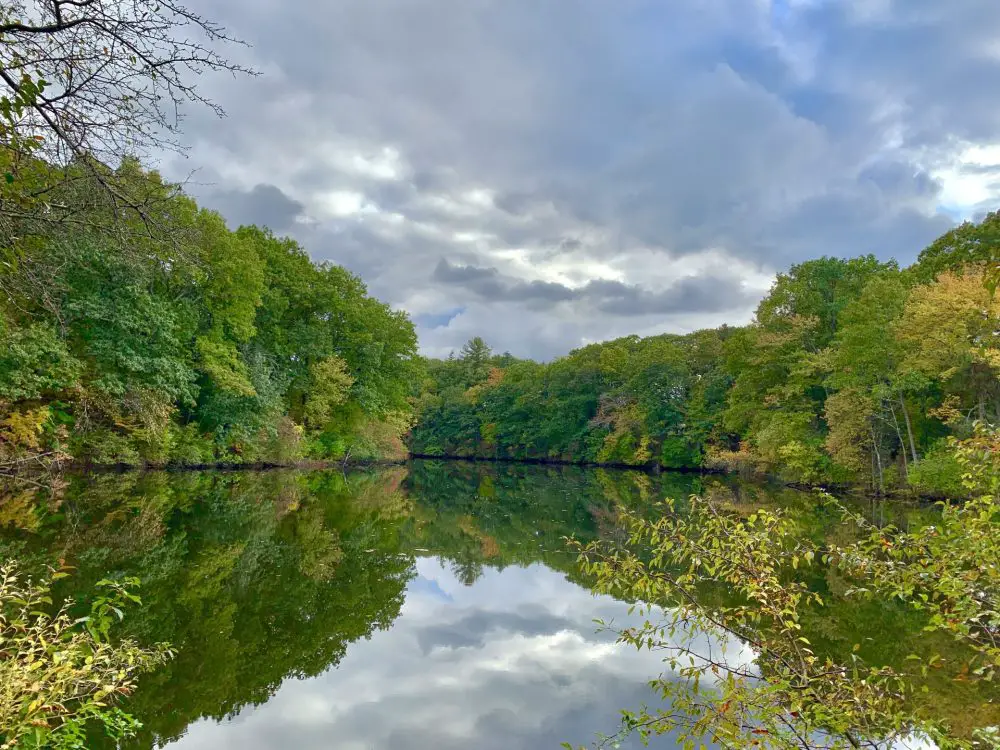
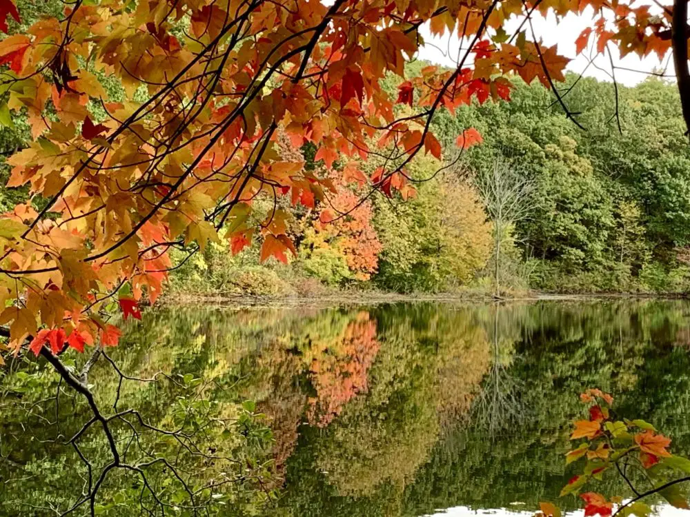
The foliage was just starting to turn during my mid-October hike in this area that looks perfectly preserved, but that’s actually been nipped and tucked more often than a Hollywood celebrity. In 1815, Rosemary Brook was permitted to be dammed at the request of business owners. The result was Longfellow Pond. Industrial concerns came and went over the years, among them a nail factory and a paper mill. But it was the ice house that lasted the longest, harvesting frozen blocks from the pond from the late 1800s through until the 1920s. Remnants can still be seen along the shores.
The days are now rare when the shallow Longfellow Pond, which reaches a depth of only about 5 feet, freezes solid enough to harvest blocks (a lost skillset among Wellesley’s present-day population). Sometimes it still gets cold enough to ice skate, like in January, 2021, when single digit temperatures lured skaters to the pond.

Flooding concerns at Longfellow Pond
Public discussions in spring 2023 with the Wellesley’s Natural Resources Commission about flooding challenges in areas including Longfellow Pond, and ways to manage possible flood impacts, led to webinars on the issue presented by the Charles River Watershed Association (CRWA). The agency presented flood models for the Rosemary Brook watershed area that predict a ten-year storm event (meaning a storm capable of producing rainfall expected to be equaled or exceeded on the average of once in 10 years) by 2070. According to the CRWA, this would result in 7.1″ of rain in 24 hours. This sounds almost biblical, and would certainly impact Oak Street, route 9, and residential properties.
When the CRWA works with a local government agency on flooding issues, their representatives always ask three big questions about waterway projects that include existing dams—remove, replace, or modify the dam?
In the case of Longfellow Pond flood management options, the CRWA did not recommend dam removal to the town, citing a desire “to preserve its aesthetic and recreational value to the community.”
That’s sweet of them, but the environmental advocacy organization isn’t exactly shy about moving aesthetics way down the list of concerns when a really big picture is involved, such as the planned removal of the South Natick dam on the Charles River. And when the CRWA can get dam owners on their side, so much the better. In fall 2022, Natick’s Select Board voted to remove the Charles River dam and spillway rather than repair it, citing financial, ecological, and cultural reasons.
Longfellow Pond dam removal would be a much smaller project, but would involve many more agencies than the South Natick dam project. Just dealing with the owners and operators of the 1,100-mile Algonquin natural gas pipeline, who would likely want to weigh in on potential changes to existing conditions, would be a project in itself. The 1,100-mile pipeline, part of which has run through Wellesley and under the pond since the 1950s, is under the jurisdiction of the Federal Energy Regulatory Commission, an agency that doesn’t like their infrastructure messed with. No, dam removal is not something that’s on the table now, or likely in the near future, either.
For Longfellow Pond, one CRWA recommendation was to install floodgates with hydraulic engineering control elements that would allow for real-time management during flooding events. That would fall under the “modify” category, probably the most appropriate option for a structure that in 2023 received a low-hazard classification from the Massachusetts Office of Dam Safety (full report forthcoming). The dam, which is inspected every ten years, received the same classification in 2012.
The CRWA also thought a bioswale planting between the parking lot and Oakland Street could be a good idea.
Neither recommendation is anywhere close to becoming a reality, as more study is needed, along with additional public input. We’ll update as we learn more.
As I came to the end of my 30-minute hike, within sight of the Oakland Street parking lot, I sniffed the air. This time the bouquet wasn’t from cigarette smoke. And it didn’t come from the knotweed or the Joe Pye weed I’d just seen at water’s edge. Nope, it was that weed, and a man staring out across the pond was having a moment. He glanced over at me to gauge my level of cool. The answer—my level of cool is very low. But I wasn’t about to summons the Wellesley police over the public use of a class D substance. Despite the misdemeanor-level shenanigans from other trail users, I got what I needed from my mid-day hike.
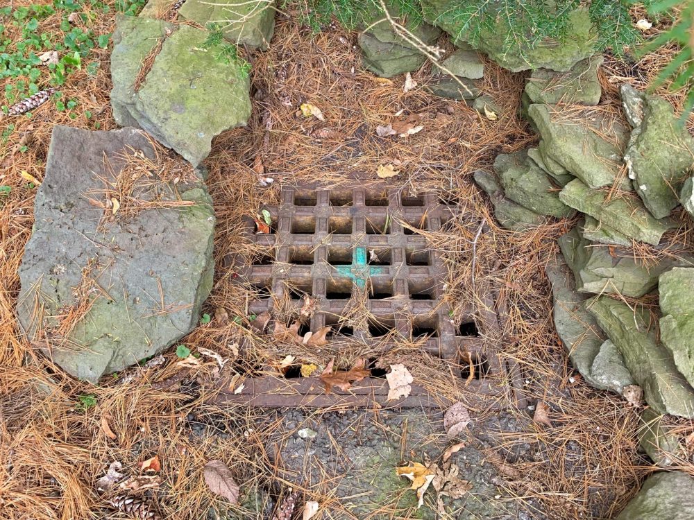
Get your mind into the gutter
The Natural Resources Commission reminds residents to keep an eye on the catch basins in their neighborhood and clean them out. “Now’s the time when the grates get covered with leaves,” NRC Director Brandon Schmitt said. “During rainy times, blockages can lead to clogging, which can lead to flooding.”